

Zoom Earth
Screenshots


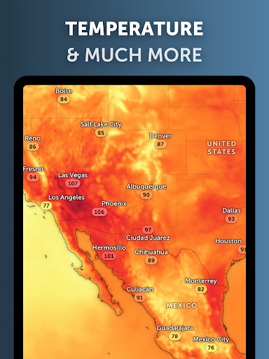
|
Developer
|
Neave Interactive |
|
Category
|
Weather |
|
Installs
|
830,000,000 |
|
Version
|
3.1 |
|
Content Rating
|
0 |
|
Price
|
Free |
Pro
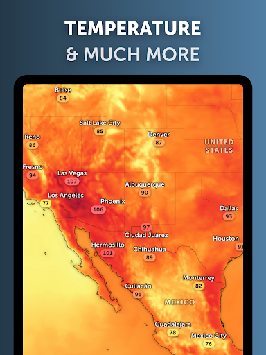
1. Near Real-Time Updates: Zoom Earth offers frequently updated satellite imagery, which can be incredibly useful for tracking weather patterns, natural disasters, or changes in the environment.
2. High-Quality Imagery: The app provides high-resolution images that can help users see detailed views of the Earth's surface, which is beneficial for both educational purposes and general interest.
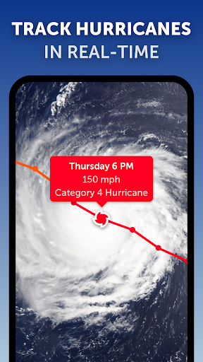
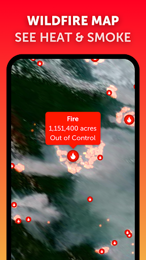
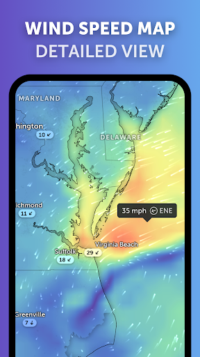
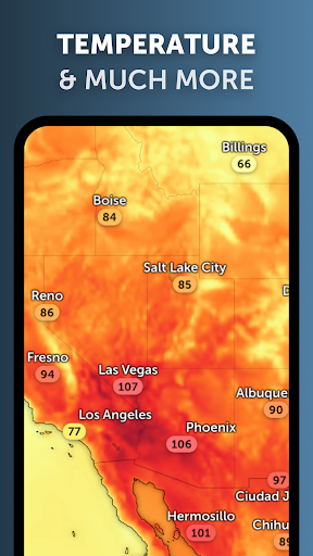
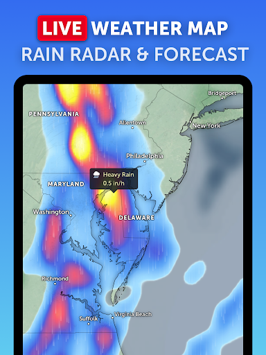
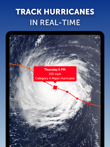
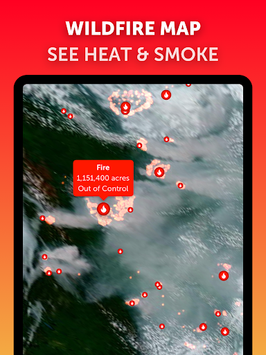
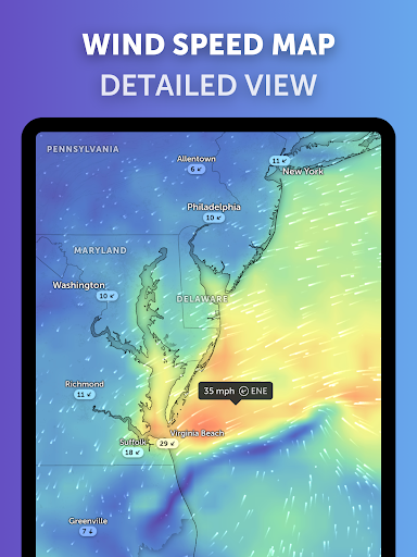
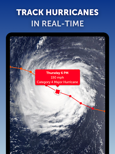
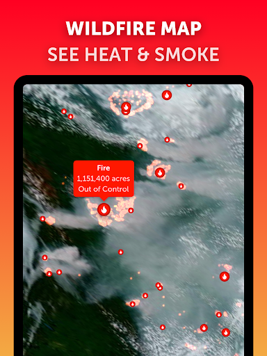
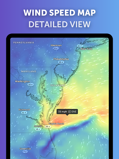
3. Weather Tracking: Users can track weather conditions and patterns, such as storms, hurricanes, and wildfires, which can be essential for planning and preparedness.
Con
1. Accuracy and Precision: While Zoom Earth provides near real-time data, there might be some delay or lack of precision when compared to official sources like government meteorological services.
2. Internet Dependency: The app requires an internet connection to access the latest data and imagery, which can be a limitation in remote or internet-poor regions.
3. Over-reliance Risk: Users might over-rely on the app for critical decisions, such as during natural disasters, where professional guidance from local authorities is crucial.


