

MarineTraffic
Screenshots




|
Developer
|
MarineTraffic Applications |
|
Category
|
Maps & Navigation |
|
Installs
|
270,000,000 |
|
Version
|
4.0.52 |
|
Content Rating
|
0 |
|
Price
|
Free |
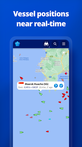
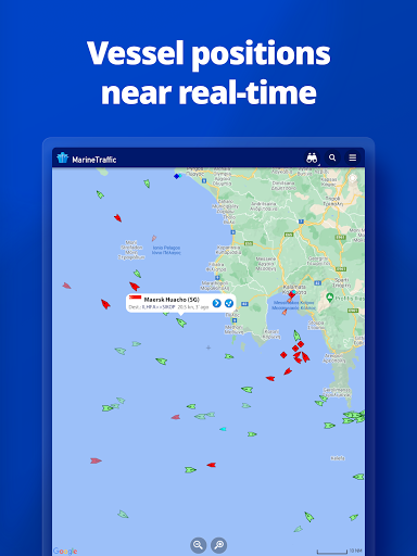
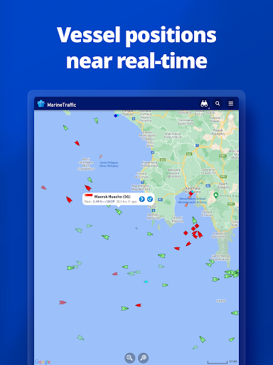
MarineTraffic displays near real-time positions of ships and yachts worldwide.
Connected to the largest network of land-based AIS receivers, the app covers most major ports and shipping routes.
• View VESSELS ON THE LIVE MAP, search for ships, boats and seaports and see what's near you!
• More than 100,000 VESSELS PER DAY report their positions via MarineTraffic AIS
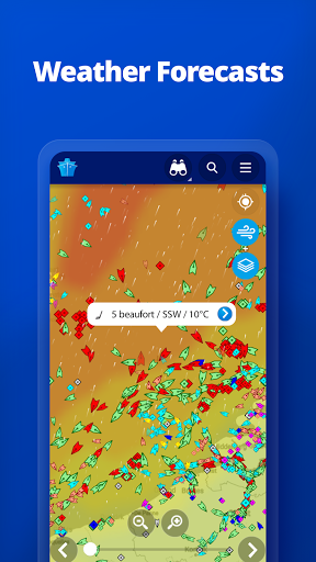
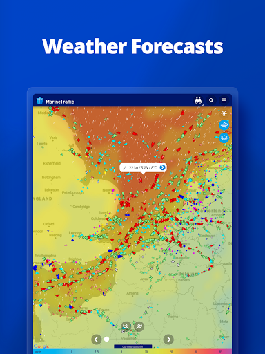
• View live wind and 48-hour WIND FORECASTS on the map
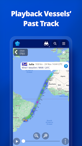
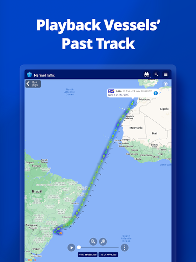
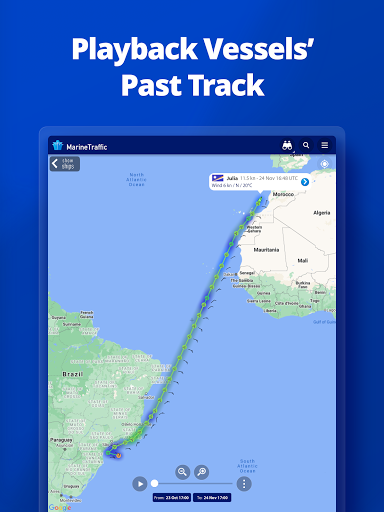
• ANIMATED PLAYBACK of vessel's track
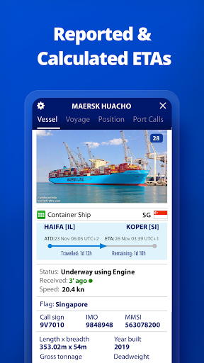
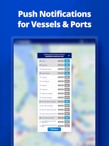
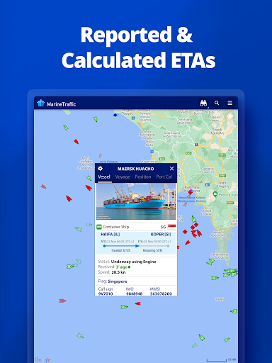
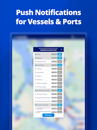
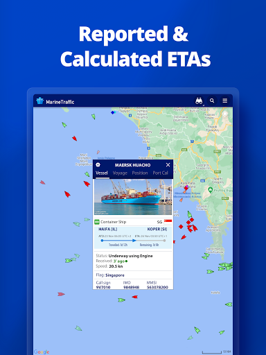
• PORT ARRIVALS & DEPARTURES live for over 4,000 ports and marinas, current conditions in ports and estimated time of arrival for the boats & ships.
• Manage your list of vessels ("MY FLEET"), shared with all your devices and MarineTraffic.com
• Browse 2,5 MILLION PHOTOS of ships, harbours, lighthouses and much more!
• Identify and track vessels sailing beyond the range of land-based AIS receiving stations, using satellite tracking, with ACCESS PLUS 24 (in-app purchase)
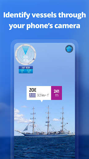
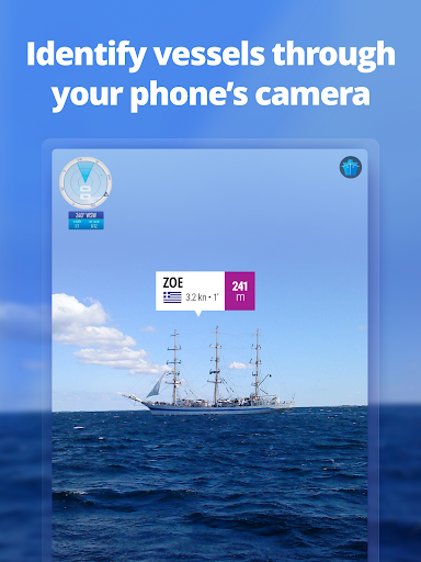
• Identify vessels around you at a glance with the Augmented Reality tool.
Just point your device's camera to the horizon and get all the information you need about the vessels in your area: name, flag, speed, distance from you and a lot more.
Also, for MarineTraffic paying subscribers:
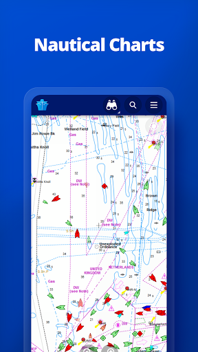
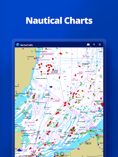
• NAUTICAL CHARTS
• ADVANCED WEATHER MAPS
• ADVANCED DENSITY MAPS
• SAT-AIS DATA
Join the great MarineTraffic community!
If you're only interested in a specific area, please confirm coverage on www.marinetraffic.com before purchasing the app


